

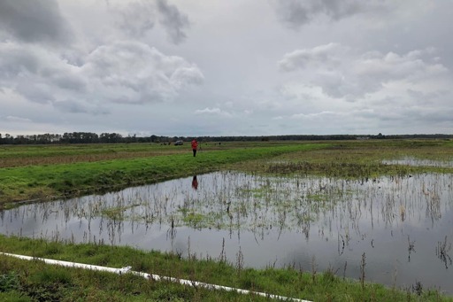
England’s peatlands have been mapped for the first time to aid their recovery as the data reveals 80% to be dry and degraded.
Scientists have used satellite imagery, artificial intelligence and in-depth data analysis to create the most complete map of England’s peatland and peaty soils to date, the Environment Department (Defra) said.
As vital carbon sinks, healthy peatlands can help tackle climate change, reduce flood risk, improve water quality and support rare wildlife, including the golden plover, curlews and 25 species of dragonflies.
You must log in or register to comment.